Name of case study
Keālia Pond National Wildlife Refuge
Location
- South-central coast of Maui
- Hawaiʻi
Year
1953, and 1992
Scale
Landscape scale
Area / size
700 acres
NbS employed
Wetlands: restoration/preservation
Type of NbS
Ecosystem restoration
Initiator
A private company (Department of Conservation)
Funder
Department of Conservation
Budget
Not stated
Design group
Te Rūnanga o Arowhenua, Environment Canterbury, Fish and Game New Zealand, Ashburton District Council, Forest and Bird, Rangitat Landcare Group, Land Information New Zealand, LEARNZ, Cawthorn Institute, Lake Clearwater back owners, Landowners, Recreational groups


- Biomass cover loss
- freshwater flooding
- increased pests or spread of weeds
- reduced water quality
- Biodiversity health and conservation
- water security and quality
- Biological control
- creation of a sense of place
- disturbance prevention
- education and knowledge
- habitat provision
- species maintenance
Summary of case study
Keālia Pond National Wildlife Refuge (NWR) is an example of wetland preservation in Te Moananui Oceania. Historically, Keālia served as an ancient fishpond, designed by Indigenous Hawai’ians to raise species like awa (milkfish) and amaʻama (flathead mullet). Fed by water from the Waikapu Stream and Kolaloa Gulch originating from Haleakalā, it utilised a system of ditches and sluice gates to manage fish populations.
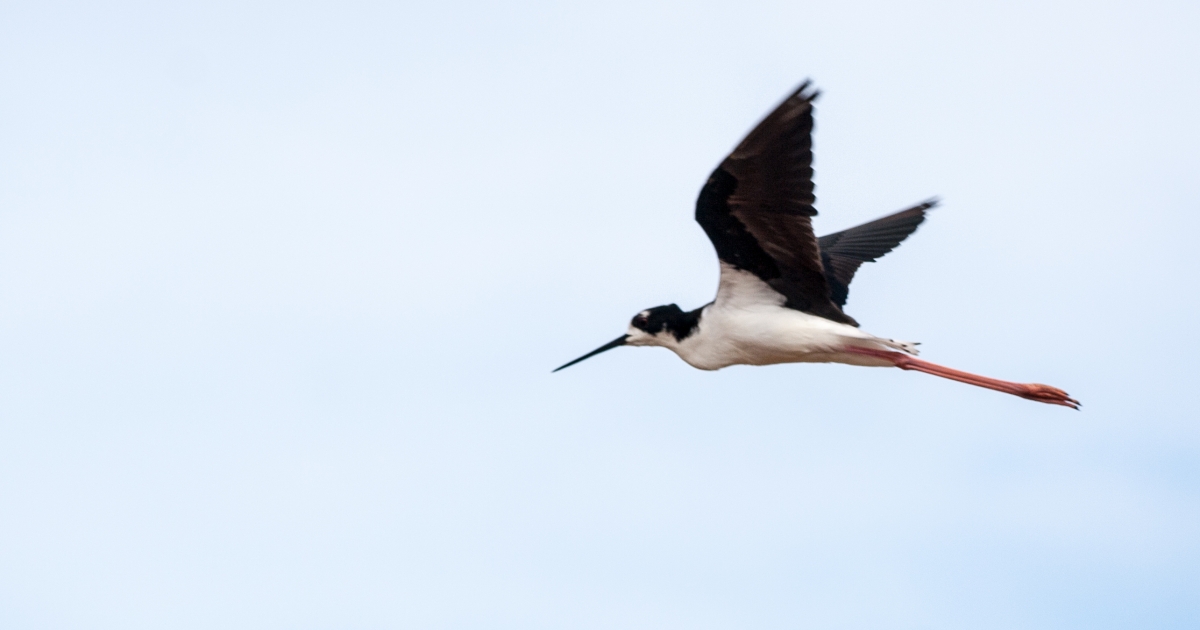
Today, Keālia Pond is a vital habitat for a diverse array of bird species, both resident and migratory. Endangered ae‘o (Hawai’ian stilts) and ‘alae ke‘oke‘o (Hawai’ian coots) find nesting and foraging grounds here, while hundreds of migratory shorebirds and waterfowl seek refuge during the winter months. Managed by refuge staff, the wetland habitat undergoes careful monitoring to maintain water levels that mimic natural cycles, ensuring the needs of resident and migratory waterbirds are met.
Established in 1992 to protect the wetland habitat of two endangered bird species, Keālia Pond NWR spans approximately 700 acres, making it one of the few natural wetlands left in the Hawaiian Islands and the largest lowland wetland on Maui. Nestled between Kīhei and Ma‘alaea, Keālia Pond NWR features a coastal salt marsh habitat, serving as a transition zone between urban development and agricultural fields. Its location along the south-central coast, fed by a watershed from the West Maui Mountains, underscores its ecological significance. It encompasses a coastal lagoon primarily within the Waikapu watershed. Bordered by a sandy beach barrier, the lagoon supports a variety of vegetation.

References
- Pau, S., MacDonald, G. M., & Gillespie, T. W. (2012). A dynamic history of climate change and human impact on the environment from Keālia Pond, Maui, Hawaiian Islands. Annals of the Association of American Geographers, 102(4), 748-762.
- Rader, J. A. (2005). Response of vegetation and endangered waterbirds to habitat management techniques at Kealia Pond National Wildlife Refuge. South Dakota State University.